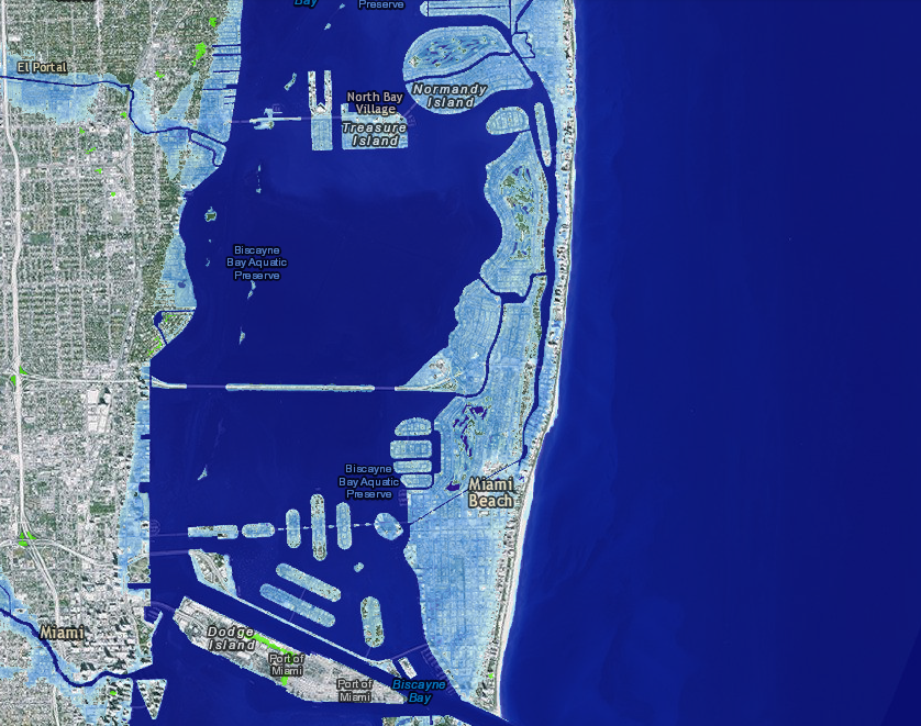
The nonprofit group Below the Surface is using Google Maps technology to produce a “street view” of American rivers, including pollution levels in the water and surrounding areas. The organization’s goal is to document 27 rivers in the first 5 years. The group also is working on a mobile application that will allow users to help gather river footage. Click here to check out the Riverview Project’s demo website and partners.
Related Posts
Featured Products
 Style 711/731 ProFlex™ Check Valves – Proco ProductsJanuary 15, 2021What is a check valve and why is it useful? Check […]
 Filterra® Bioretention System – Contech Engineered SolutionsJanuary 13, 2021Filterra® Bioretention – Low Impact Development […]
 sEAmless Compliance Portal – EA Engineering, Science, and Technology, Inc., PBCJanuary 21, 2021EA Environmental, Health, Safety and Sustainability […]
 Atkins Water Practice – Atkins/SNC-LavalinJanuary 21, 2021At SNC-Lavalin’s Atkins business, we take advantage of […]
 PipeCAST™ Monitoring Platform — CDM SmithJanuary 19, 2021PipeCAST™ — Actionable Engineering Insights, Right at […]
WEF Stormwater on Twitter
Tweets by @wefstormwaterHappening @ WEF
Polls
Storm Events
There are no upcoming events.


