In 2017, the Chesapeake Bay Program (CBP; Annapolis, Md.) recorded 42,448 ha (104,893 ac) of submerged aquatic vegetation (SAV) throughout the Chesapeake Bay and its tributaries, marking the first year the bay’s SAV surpassed 100,000 acres since CBP began conducting annual surveys in 1984.
Results from CBP’s 2018 investigation, published in July, suggest that Chesapeake Bay SAV may now cover as much as 44,094 ha (108,960 ac) – an area around the size of San Jose, Calif. That figure provides evidence that conservation efforts to rehabilitate the Chesapeake Bay are increasing the ecosystem’s resilience against storms and other stressors. But despite promising signs of the bay’s rehabilitation, conservationists will not rest on their laurels, said Brooke Landry, a natural resources biologist and chair of CBP’s SAV workgroup.
“What we need to do now is to double down on our efforts to decrease nutrient and sediment pollution and give our underwater grasses a chance to continue their recovery,” Landry said.
Making gains despite the rain
CBP researchers and partners were nervous about whether 2017 SAV coverage would plummet in response to 2018’s record-breaking summer rainfall. July, for example, brought the wettest conditions on record to Pennsylvania and the second highest-ever rainfall totals to Maryland. While Hurricane Florence sidestepped much of the bay when it passed over the Carolinas in August, residual effects over the bay’s tributaries resulted in flows up to four times higher than the regional monthly average according to U.S. Geological Survey estimates.
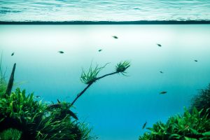
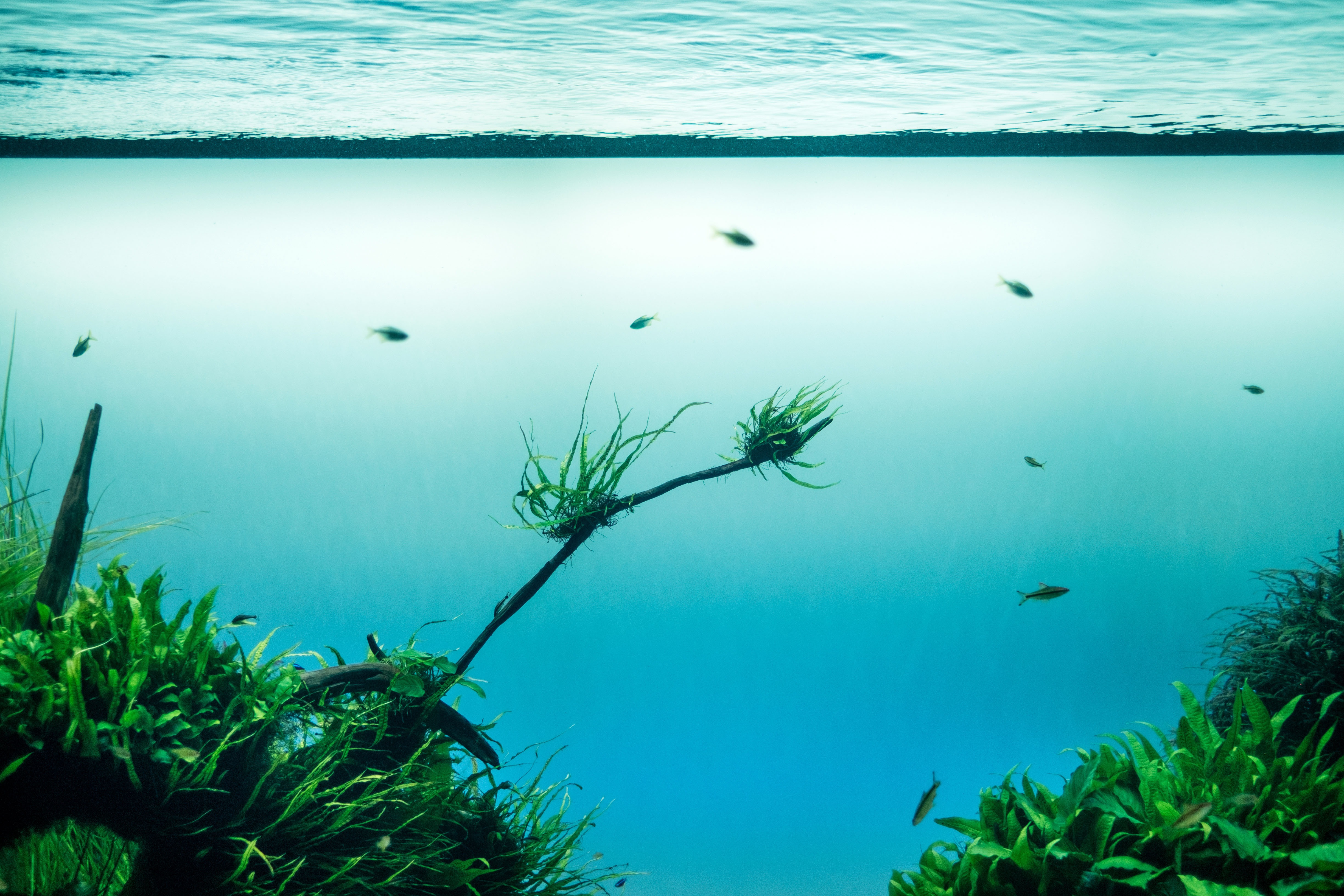
The Chesapeake Bay Program (CBP; Annapolis, Md.) has released findings from its annual survey of submerged aquatic vegetation (SAV) in the Chesapeake Bay for 2018. Although high precipitation prohibited scientists from mapping about 22% of the study area, 2018 estimates showed promising signs of the bay’s rehabilitation. StockSnap/Pixabay
More rainfall means more runoff entering bay tributaries. Too much runoff can cloud waterways, preventing sunlight from reaching SAV. Studying SAV coverage, then, can provide crucial information about water quality.
But SAV in the bay was prepared, said Landry. Years of work by CBP and other conservation groups had bolstered the size and density of many SAV beds such that they were more resilient to weather-related disruptions.
“Last summer’s record rainfall – and the accompanying runoff and turbidity – definitely proved a stressful environment for our underwater grasses, but the fact that they had five solid years of expansion leading up to it helped the vast majority of the beds survive,” Landry said.
However, the weather did present obstacles. CBP researchers and their partners conduct their annual survey from the sky, using aerial photography to estimate the location and density of SAV beds. In 2018, poor visibility caused by frequent rain prevented researchers from mapping SAV in about 22% of the bay and its tributaries, leading to wide gaps in data, according to a CBP release.
The team recorded 37,052 ha (91,559 ac) of SAV in 2018 and used data from the 2017 survey to estimate SAV coverage in the unmapped areas. Some areas of the estuary – such as the Upper Central Chesapeake Bay and central Maryland’s Patapsco River – saw respective SAV increases of 68% and 114% compared to 2017 figures.
Underwater grasses SAVe the bay
CBP researchers are paying special attention to widgeon grass, an SAV species that can fluctuate immensely in concentration from year to year. The 2018 survey uncovered very high counts of widgeon grass, particularly in the bay’s saltiest regions. The spike, according to researchers, indicates that water quality has reached a point that promotes growth and reproduction for a broad range of SAV species.
A spike is a good sign, said Robert Orth, a CBP collaborator and professor at Virginia Institute of Marine Science (Gloucester Point). But seeing the trend continue during the 2019 survey would be even better.
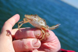
Monitoring SAV is important not only because it serves as a benchmark for Chesapeake Bay water quality, but also because it offers critical sustenance and habitat for iconic bay species such as the blue crab. Thanks in part to SAV restoration activities, the bay’s blue crab numbers rose by about 60% between 2017 and 2018, according to CBP estimates. Alicia Pimental/CBP
“We were all encouraged by the amount of SAV in the bay in 2018 given the conditions they had to grow and survive in,” Orth said in a statement. “But the real test is now, to see if the beds not only survived, but if they stored enough energy to support their continued growth.”
SAV is more than just a measure of waterway health. Supporting and maintaining SAV growth can itself be considered an important conservation measure.
SAV provides sustenance and shelter for a wide variety of aquatic life, including the blue crab, whose numbers experienced a dramatic 60% uptick from 2017 to 2018. Healthy SAV can capture and sequester carbon, nutrients, and sediment, further mitigating the effects of runoff pollution. By slowing wave action and discouraging erosion, SAV can stabilize shorelines.
If the high estimate of 2018 SAV coverage proves accurate, CBP will have completed at least 59% of its goal to restore 74,867 ha (185,000 ac) of SAV to the bay by 2025.
Get involved
Aerial photography is a useful tool for estimating SAV quantity on a scale as large as that of the Chesapeake Bay, but is less useful for determining the quality of that SAV. To gather information about SAV species diversity, the condition of specific habitats, and other local-scale data, CBP is now enlisting volunteers to get involved with data collection.
Individuals near the Chesapeake Bay or its tributaries are encouraged to download the Water Reporter mobile app for Android or Apple devices. The app, geared both toward hobbyists such as swimmers and boaters as well as established conservation groups, crowdsources photos from users that CBP researchers can use to improve their annual estimates of SAV coverage.
Read a blog post by Chesapeake Bay Foundation (Annapolis, Md.) naturalist John Page Williams for more information on SAV resurgence and what it means for the overall health of the Chesapeake Bay.

